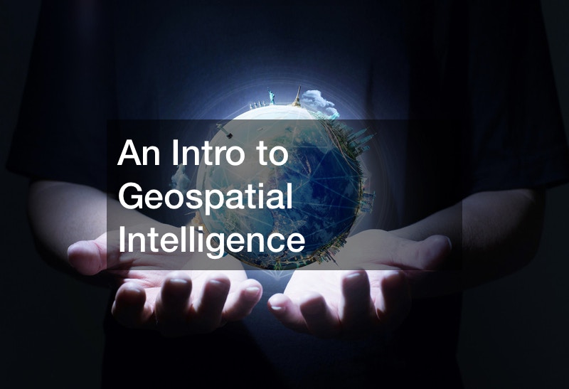
Geospatial land imagery is an intricate technology that ties into geospatial intelligence.
Geospatial intelligence is used by defense agencies across the country. It is used to understand what is happening at a specific location at any given time.
Defense agencies use geospatial intelligence to analyze a location before actually arriving. This is meant to ensure the safety of the people being sent to whatever location. This intelligence also allows civilians in the areas scanned to report if they need help in one way or another. In the video, Haitian civilians used mapping technology to notify the U.S that they needed assistance.
This was done using a developed form of geospatial intelligence. It used crowdsourcing to gather local information from social media, local news, text messages and any other available forms of media to pinpoint troubled locations. Following this, geospatial land imagery was used to map out the locations in real time which allowed rescue workers to gravitate toward the correct areas. This form of intelligence proved to be extremely beneficial in efforts to help people in dire situations.
The applications for this kind of technology are boundless. Using geospatial land imagery alongside other related technologies allows for efficient problem solving that cannot be replicated otherwise.
.
